We continued upstream across the aqueduct and into Chirk Tunnel. Just past the exit of the tunnel here we tied up and went for a walk to Chirk Castle.
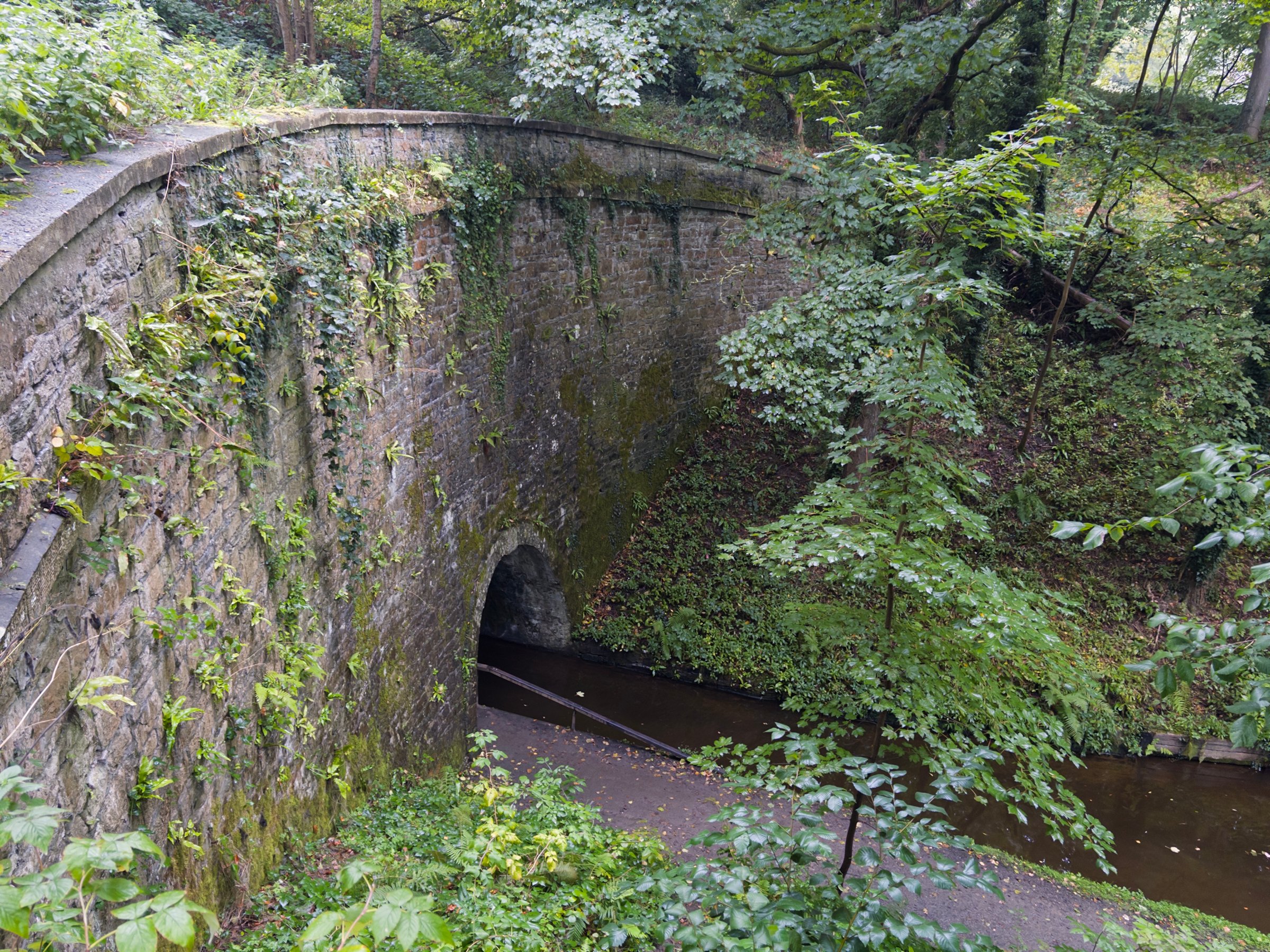
The handsome Chirk Aqueduct that we just crossed could have actually been built more easily across River Ceiriog about a mile downstream, but that would have "spoiled" the view from Chirk Castle, so the elites prevailed.
Incidentally, if you're wondering how to pronounce "Llangollen", "Ceiriog"and "Pontcysyllte" a good resource I found is this guide for hikers.
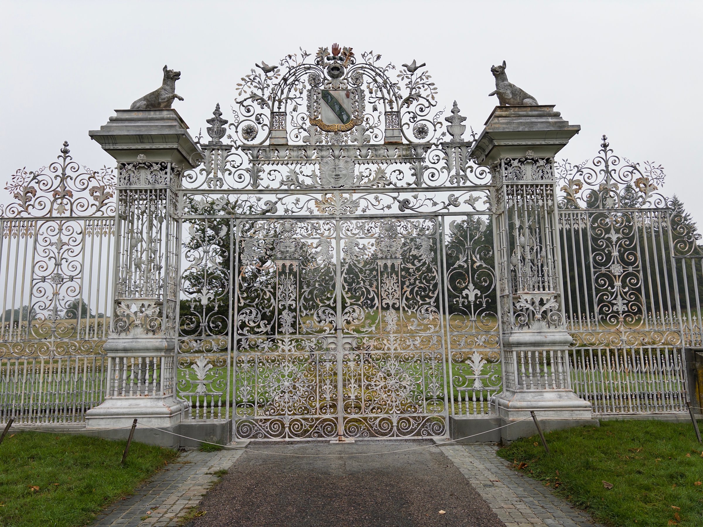
A ways up the road from the canal you come to the castle grounds and this elaborate gate. This spot is still more than a mile from the castle, but the folly announces its presence.
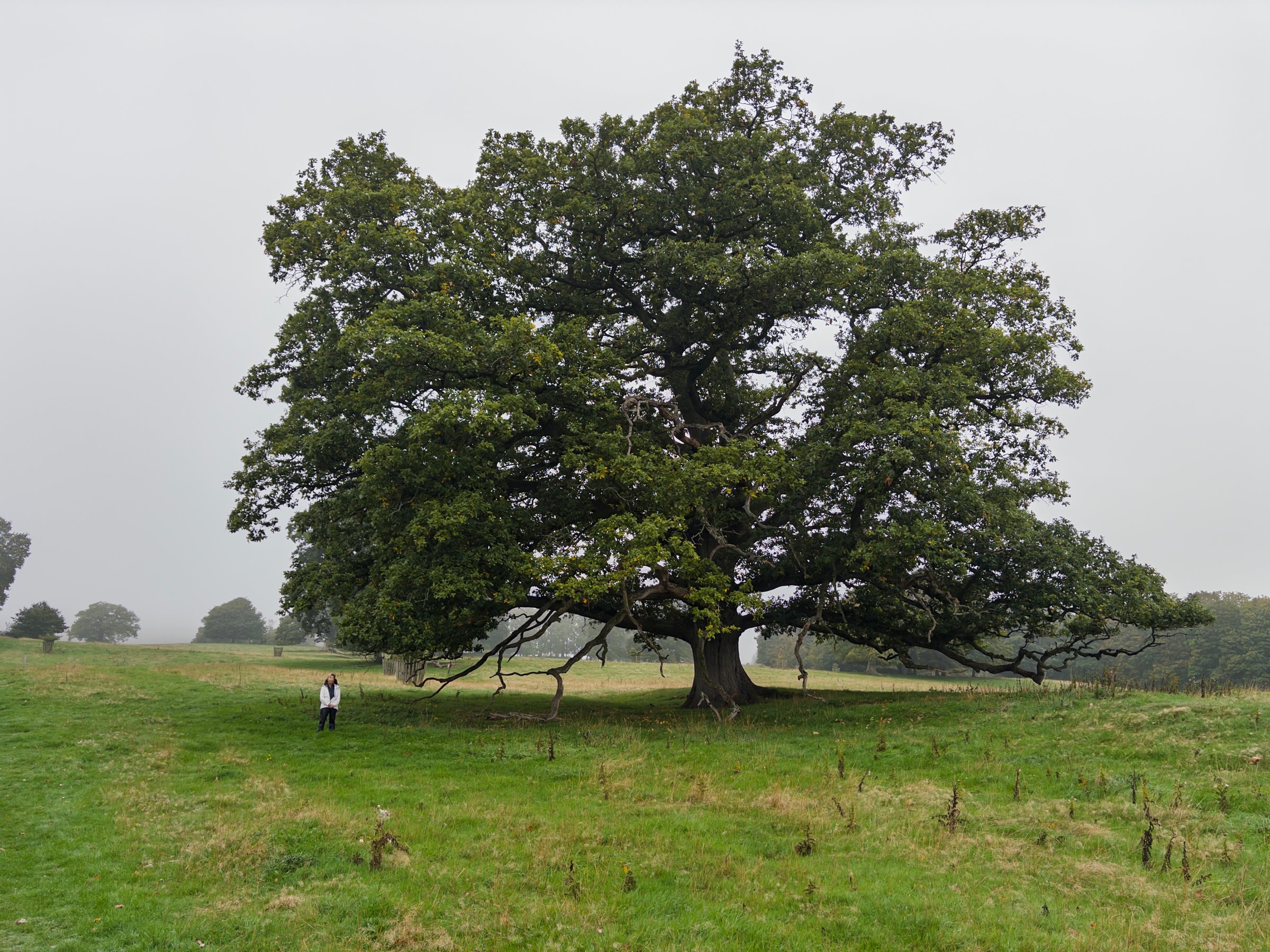
The grounds leading up the hill had enormous old oak trees.
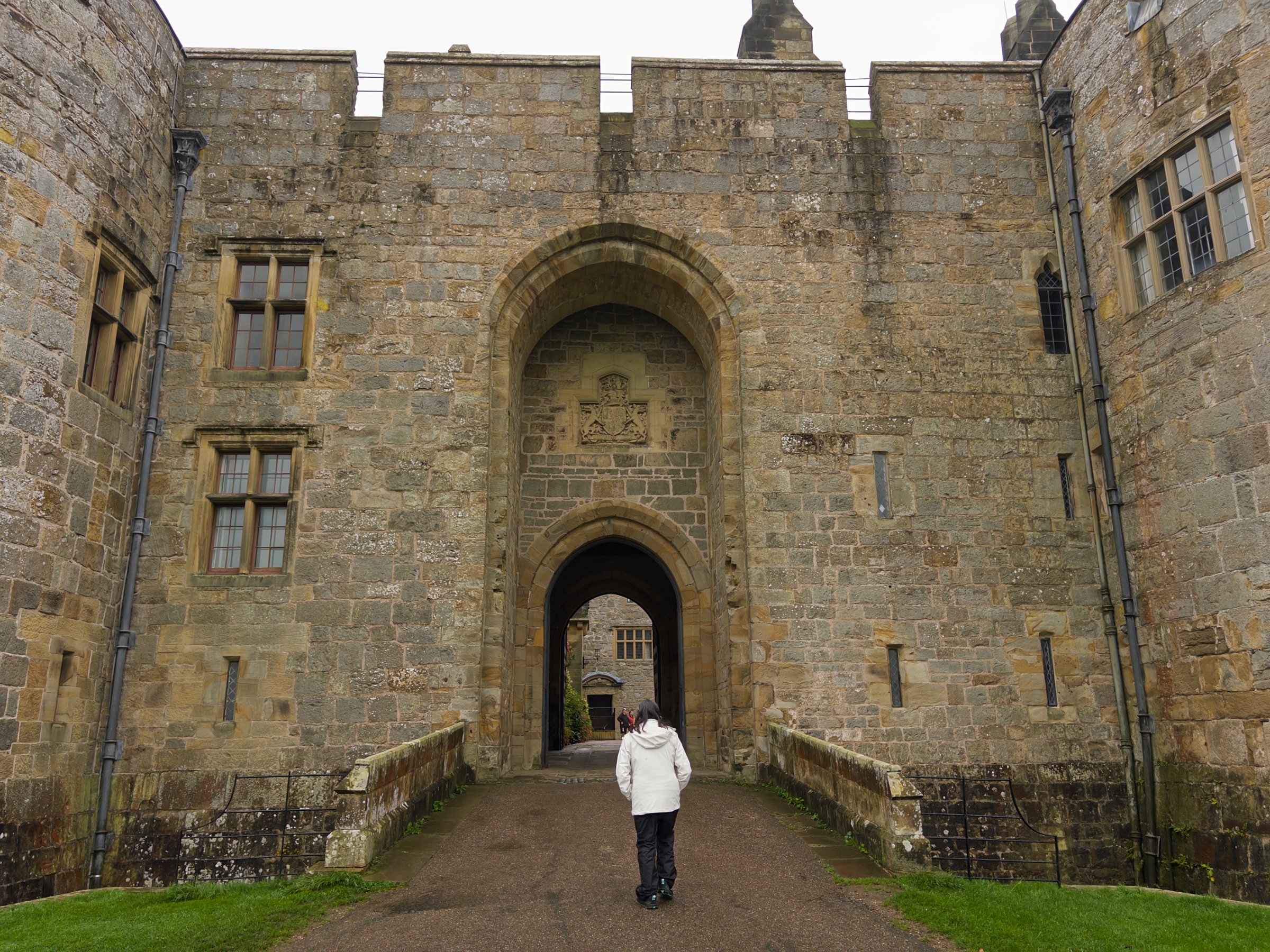
Here at the Welsh border the geography changes from the rolling farmland of England to the mountains of Wales, and more than 600 years ago Roger Mortimer de Chirk built a fortress, part of Edward I's scheme to protect the Ceiriog Valley. The Mortimers sold to the Myddeltons 300 years later (relation to Princess Kate?), and they lived there until 2004. Now it's yet another National Trust property.
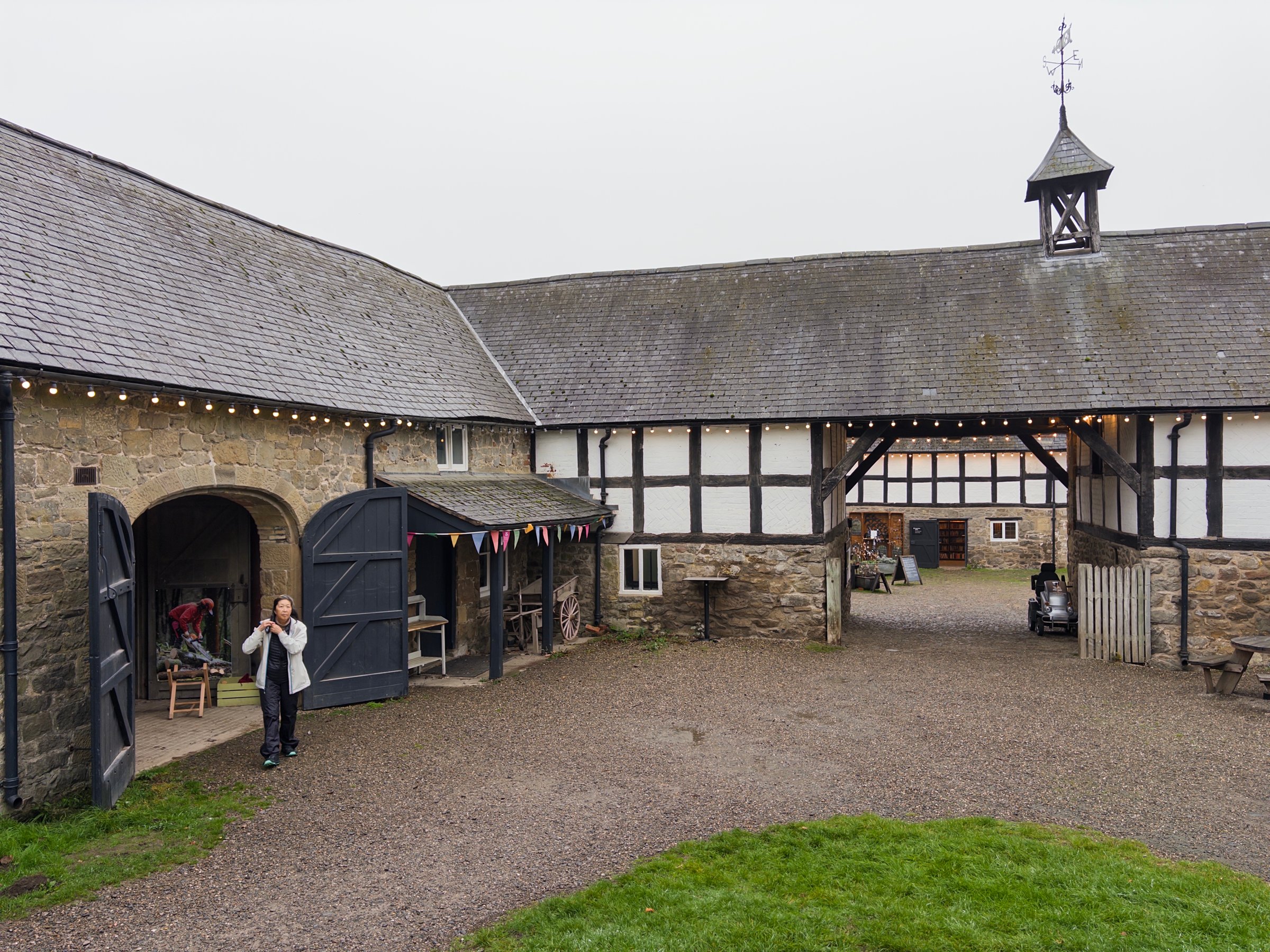
Since Chirk Castle has been occupied for over 600 years there are new bits and old bits. There's a nice old carriage house next to a much more recent squash court, built for a young Myddelton when they showed an interest in the game.
Once inside there are volunteer docents to expound on all the history. One of them went on about an elaborate Tokugawa era Japanese chest, which he claimed was obviously made for export since it had a mix of Japanese and Western iconography, just look at these shamrocks on the sides.
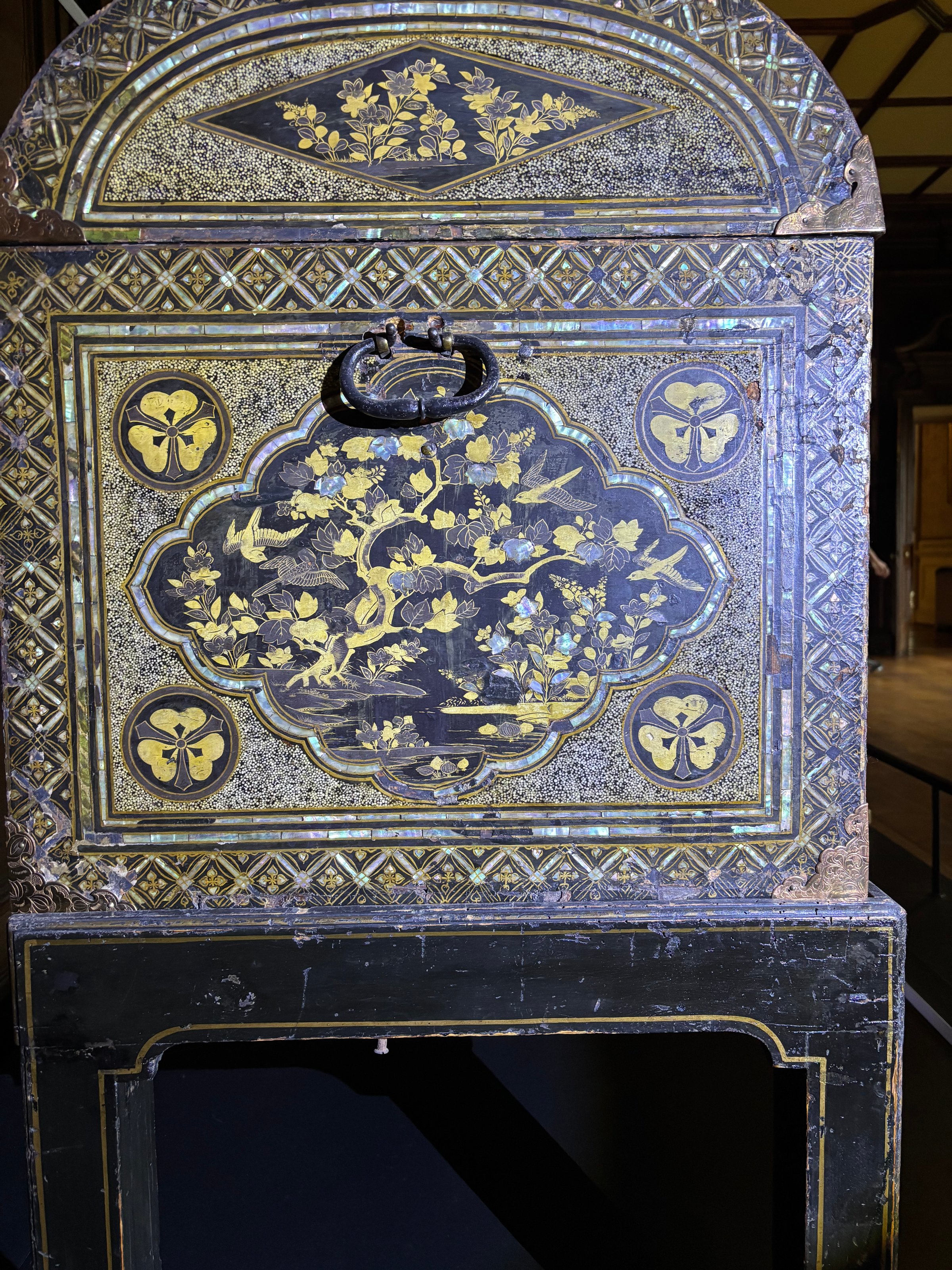
Michele thought "Hold on bucko, that's no shamrock, that's a kamon!". She politely suggested that it might be a Japanese family crest. Once we had phone service she looked it up and confirmed that it is was indeed the kamon of the Sakai clan, retainers of the Tokugawa shoguns. She mailed that off to the Chirk Castle curators, and they thanked her and said they will update their information. So that was our contribution to the National Trust!
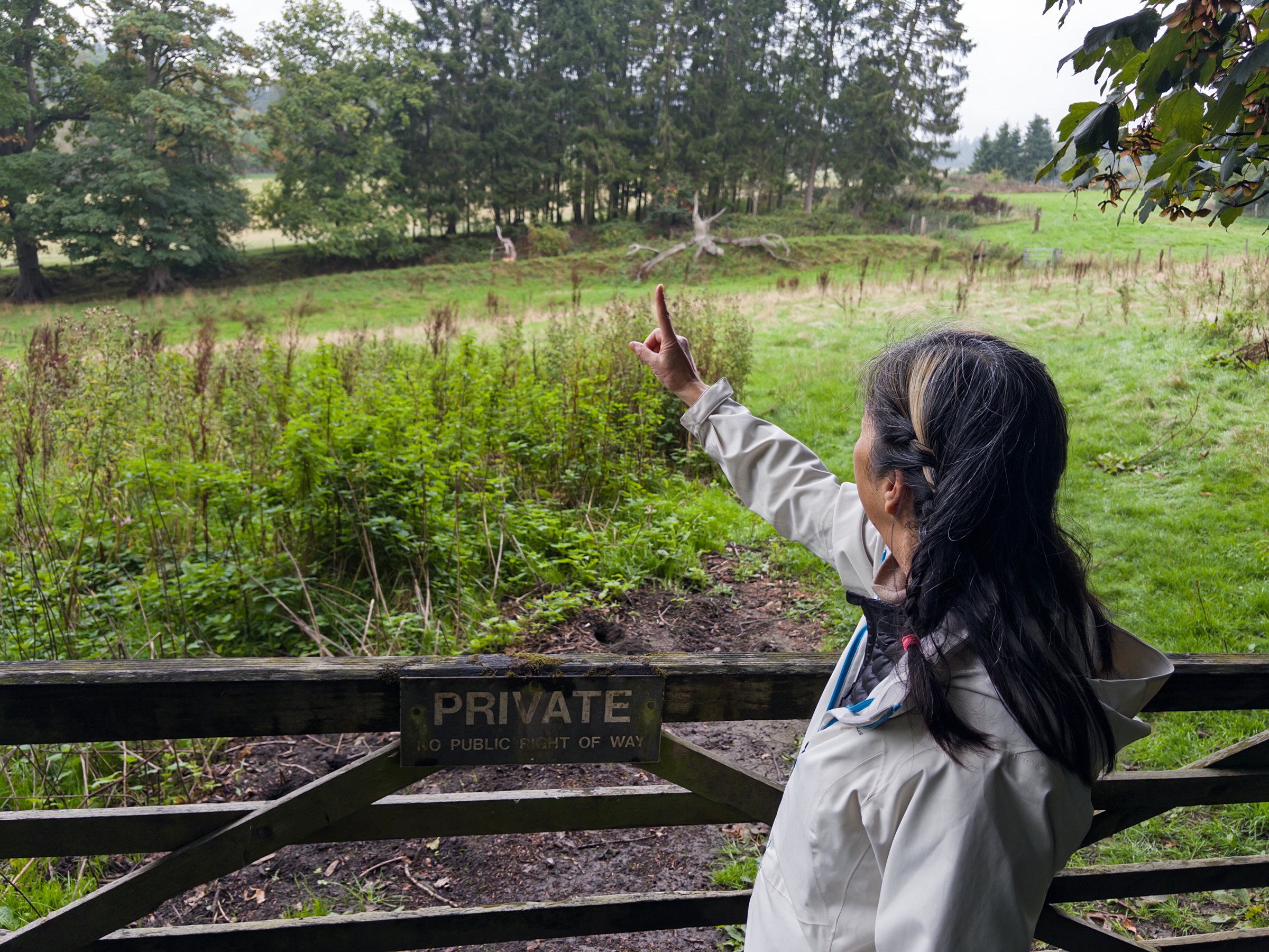
Meandering through this area and crossing the canal and several points is Offa’s Dyke, which King Offa build back in the 8th century as part of a very long history of trying to keep the Welsh in Wales (and visa versa I suppose). Stretches of the dyke are still visible, including this bit near that Michele is pointing to.
After the castle it was back on the boat and on to Froncysyllte, a small village just before the canal crosses the River Dee on the Pontcysyllte aqueduct. Another boater said there were plenty of places to tie up "after the lift bridge", which was true but they were either long term moorings or the place where you get fresh water. I had pulled over in a long term spot and was in a dilemma. I wanted to stay on this side of the aqueduct in Froncysyllte but I couldn’t turn around, I was past the winding hole. I asked a passing boatman if my spot was OK, and he said "normally no, but that fellow is in dry dock". So we tied up and put a sign on the boat to call me if there were any problems. I was nervous about it though until nightfall, I hate breaking the rules.
We walked up to Dorothy Hartley’s grave. Hartley was the author of Food in England, a favorite book of Michele's, and lived in Froncysyllte overlooking the lift bridge on the canal.
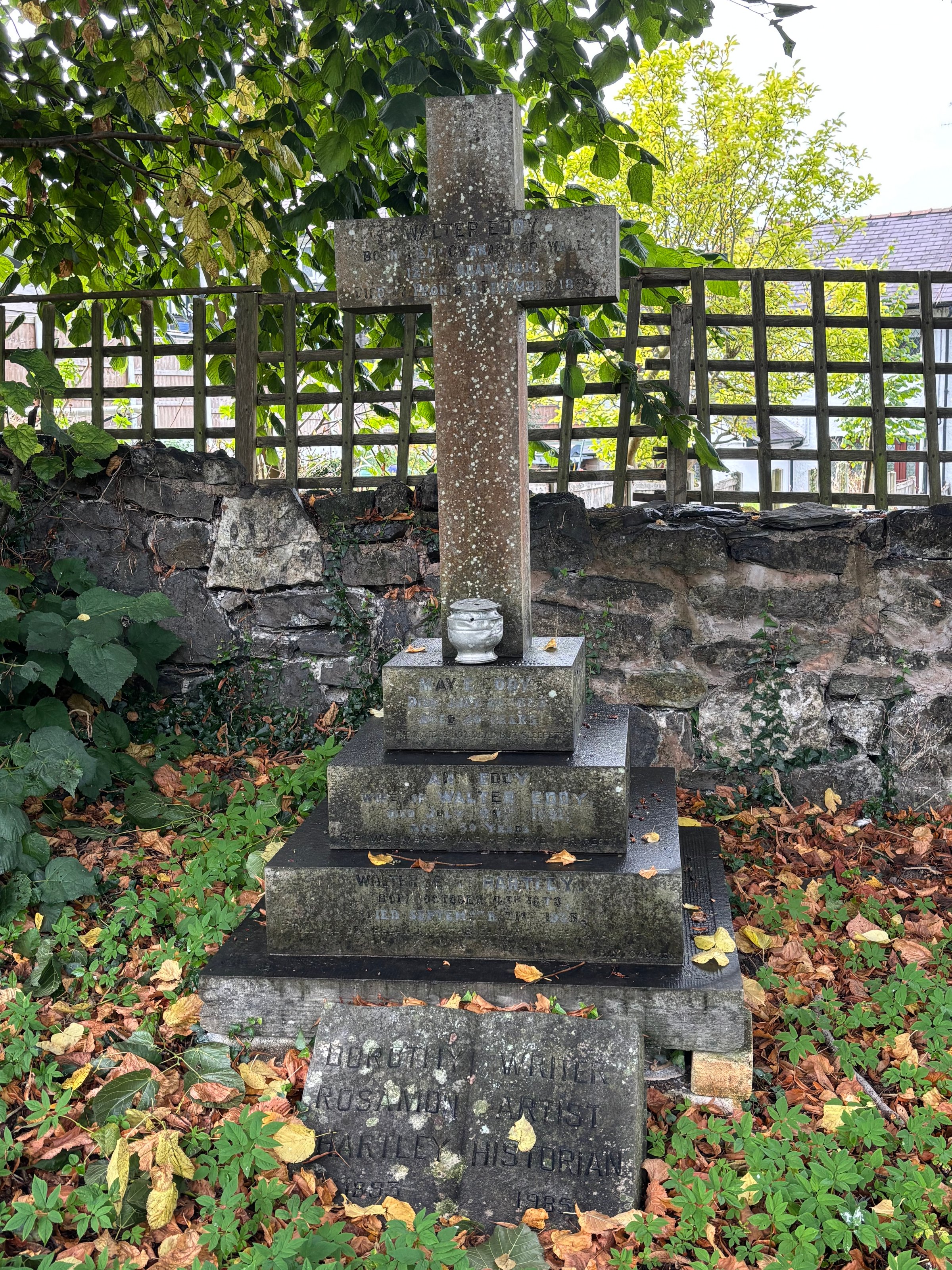
We discovered that she also wrote Waters in England, which it now seems we need to read. Maybe that would be a good book for the next canal trip.
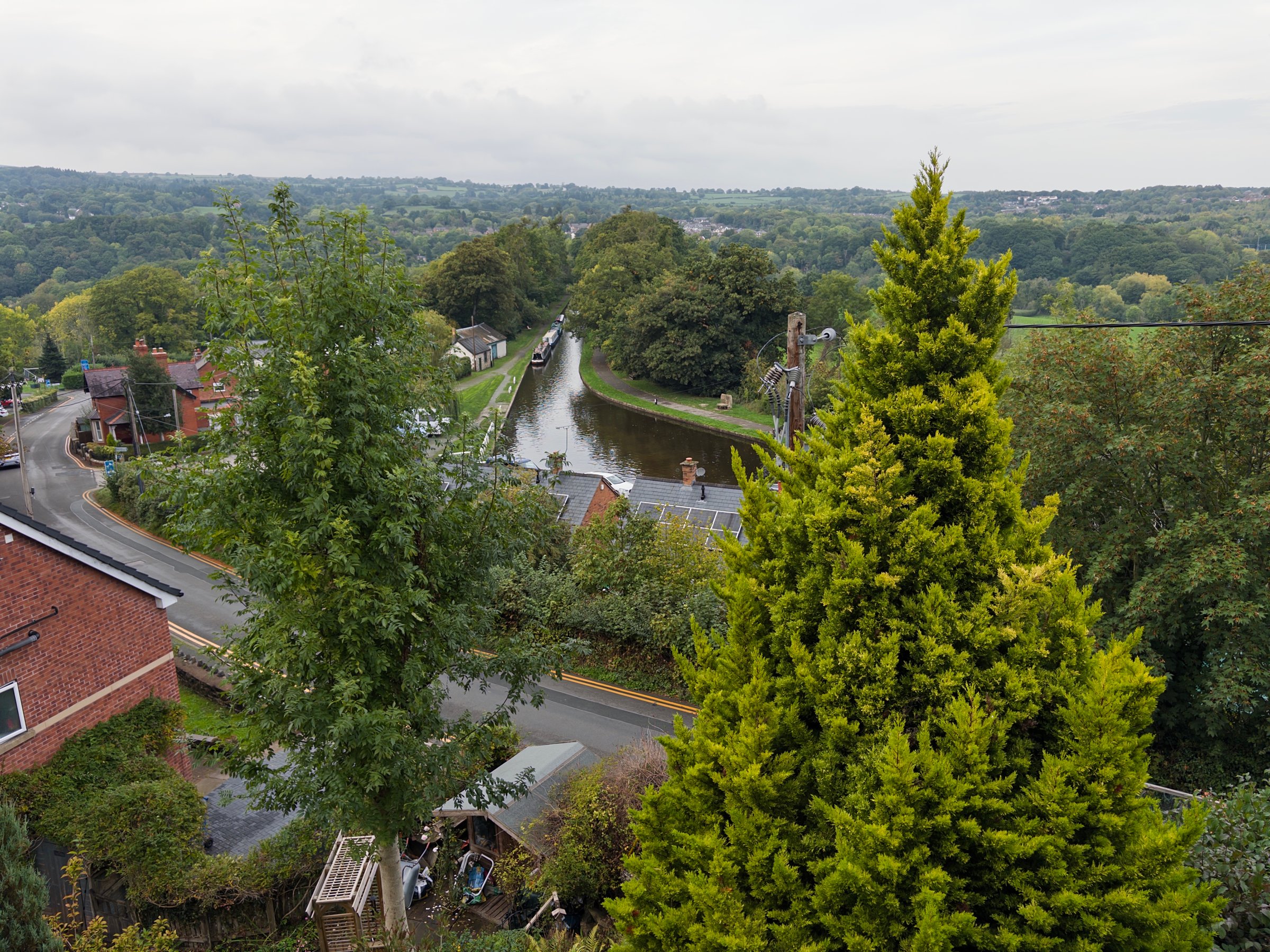
Afterwards we had a pub meal at the Aqueduct Inn, which had a nice view. Here you can see the canal leading to the aqueduct, which is behind the trees. Celeste is (illegally 😬) moored at the end of the boats on the left, just past the winding hole.